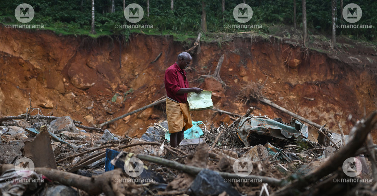
Wayanad landslide not man-made, result of extreme heavy rain

Mail This Article
This is the second part of 'Heart of Disaster,' a series on the landslides that recently hit Kerala’s Wayanad. It includes the analysis of the savage landslides by John Mathai, Scientist (retired) of the National Centre for Earth Science Studies, Dr S Sreekumar, KILA's expert in disaster mitigation, and Director (retired) of the Integrated Rural Technology Centre in Palakkad, and Dr Girish Gopinath, Head of the Climate Variability and Aquatic Ecosystems at KUFOS.
(Part 1: A master plan swept away in nature's fury )
Besides natural calamities, the settlers in Kerala's hilly district of Wayanad also have to face extreme environmentalist stands that accuse them of exploiting nature. Is there any basis for the argument that the landslide at Mundakkai-Chooralmala was man-made?
Even as fingers are pointed at settlers, several questions remain unanswered. Do explosions in quarries trigger landslides? Have the changes in agriculture patterns affected nature? Should the Western Ghats be converted into a museum after stopping all infrastructure projects such as roads, rails, and hospitals? The present-day situation demands an environmental policy that takes the public into confidence. It should also find a solution to livelihood issues.
Extreme heavy rain is the villain
Tremors from quarry blasts will affect only a 150-metre radius. The functioning of the quarries and the use of explosives are regulated. Extremely heavy rain is the main reason for the landslide. The Mundakkai-Chooralmala disaster is a result of the extremely heavy rain deep inside the virgin forest.
“Compared to developed and capitalist countries, the carbon footprint is much smaller in Kerala. It should be noted that India's contribution to carbon footprint is less. Kerala relatively has better environment-friendly conditions. Additionally, the forest cover on the Western Ghats in Kerala is better maintained,” John Mathai, Scientist (retired), National Centre for Earth Science Studies said.
No quarries in 10-km radius
Wayanad has the least number of quarries in Kerala. Of the 11 quarries, only nine are functional. Several quarries were forced to wind up operations in the face of stringent norms and regulations. Kerala, which had 3,014 quarries 13 years ago, now has only 561. There are no quarries in the 10-kilometre radius of the landslide-hit Mundakkai-Chooralmala in Meppadi panchayat.
Epicentre in hotspot
“Mundakkai and Chooralmala are landslide hotspots, according to a map of landslide-prone areas KUFOS had prepared with the aid of artificial intelligence. As much as 32 per cent of the area in Meppadi panchayat is prone to natural disasters. In Wayanad, 14 per cent of its area, including, Thondarnadu, Padinjarathara, Pozhuthana, Vellamunda, Vythiri, Tirunelli, Thariyodu, and Mooppainadu, is in landslide-prone area,” Dr Girish Gopinath from KUFOS said.

People cannot reach other districts easily
Any disaster could isolate Wayanad, and solutions to this crisis are all midway. The demand for a relook into the planned tunnel road to Wayanad has strengthened after the Mundakkai-Chooralmala landslide. In fact, tunnels are better alternatives to ensure smooth travel without harming the environment. The tunnel at the Sanjay Gandhi National Park is an example.
The Meppadi-Aanakkampoyil tunnel could be constructed after extensive study and safety checks. If it materialises, it will be an alternative route that would not affect the forests or wildlife. However, it should avoid geographically fragile areas. The Western Ghats have different rock systems. The tunnel should avoid weak rock masses.
Need for accurate weather forecast
The settlements at Mundakkai and Chooralmala were adjacent to the river. The school and its playground were closer to the river. If the landslide was caused by extremely heavy rain and the pressure of water on rocks, the massive loss of life and property was the result of human settlements in the flood zone.
“The magnitude of the tragedy could have been brought down if there had been an accurate weather forecast. Constructions that hindered the natural flow of the river added to the gravity of the tragedy,” Dr S Sreekumar, KILA, said.
Total evacuation is not possible
The entire population cannot be rehabilitated elsewhere since the region is prone to natural disasters. The settlements in such areas are a result of ballooning population and population density, and shrinking resources.
Priority should be accorded to participatory and regulated construction activities in disaster-prone areas. Early warning systems should be effective. Environment-friendly construction methods should be encouraged.
What should the government do?
- Provide counselling for the disaster-hit people to allay their fears
- Ensure better medical treatment for the injured
- Maintain hygiene in relief camps
- Find inhabitable and uninhabitable houses
Tomorrow: The question of appropriateness arises when people indulge in a blame game following a tragedy. The ideal way forward is to know what could be done to avert such a disaster in future.
Coordination: Shinto Joseph

