Mullaperiyar's safety is linked to its water level, unlikely to withstand another quake

Mail This Article
The Supreme Court has asked the Supervisory Committee to make an "immediate and firm" decision on the maximum water level that could be allowed at Mullaperiyar dam by Wednesday. The order has come as a relief to Kerala, which has been demanding to cap the maximum water level at 139 feet. The State, however, has to be prepared for any eventuality.
The northeast monsoon is gathering strength over Kerala close on the heels of the southwest monsoon, which wreaked havoc in the State. The copious amount of rain that the State received has raised questions and concerns over the 126-year-old dam at Mullaperiyar.
Kerala should constantly monitor the rainfall and the inflow to the reservoir and be prepared for any eventuality if the structural stability of the dam is challenged, though there is no imminent threat to the dam.
State of the dam
The dam was constructed between 1887 and 1895, and its age is of serious concern. Besides, leaks in the weakened structure, too, determine the structural stability of the dam.
Age and weathering
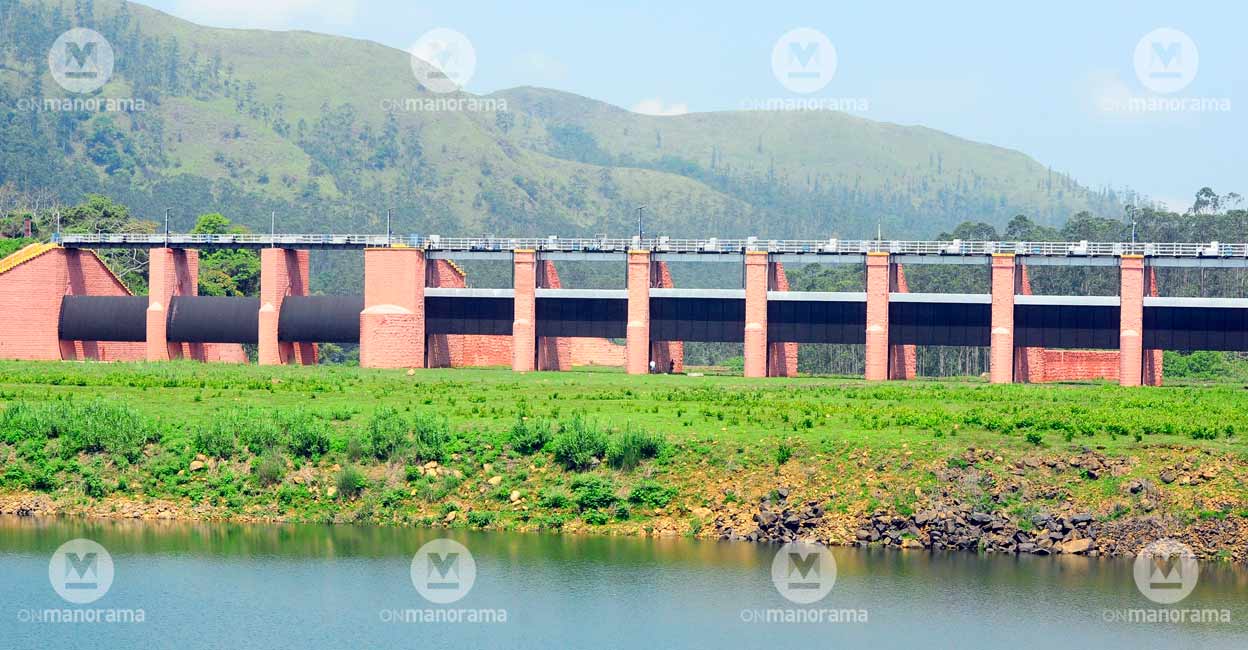
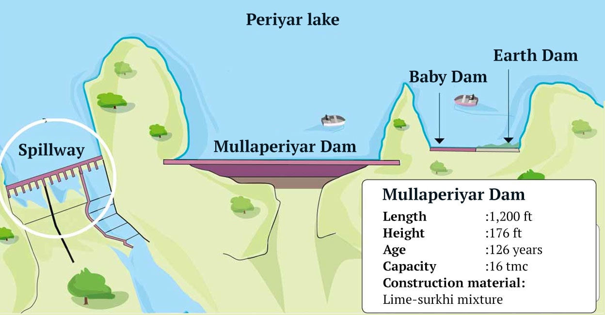
The structure at Mullaperiyar is a masonry gravity dam, constructed with a mix of limestone and burnt brick powder (surkhi). Gravity dams use their weight and gravitational force for support and stability. The outer part of the dam was once strengthened using concrete, after it was found that the structure had weakened. As there is a gap between the lime-surkhi, originally used to construct the dam, and the concrete layer they won't function as a single unit.
Leakage drains lime
Water leaks through the gap between the surkhi and concrete, and from beneath the dam. The leakage takes with it the lime used to construct the structure. Tamil Nadu has admitted that 35 tonnes of lime is lost annually due to leakage.

Weakening structure
The loss of lime has reduced the dam's weight, thereby weakening the structure. Its capacity to store water, too, has been affected.
Earthquakes to mar stability
The dam can't withstand earthquakes. When constructed in 1886, the technology to withstand earthquakes was not available. Several studies have pointed out that the dam was constructed in a seismic area.
Any additional pressure caused by floods, age, or earthquake would affect the dam.

Dam overtopping too risky
The dam's catchment area is spread over 625 square kilometre, and rainwater from this area flows into the reservoir. The maximum inflow was estimated to be 2.12 lakh cubic feet per second when the dam was constructed. However, during the 1943 monsoon, the inflow was 2.43 cubic feet per second.
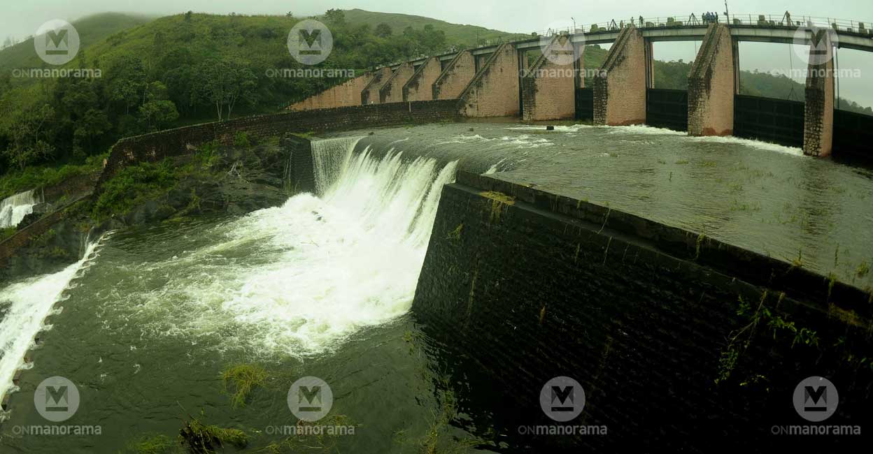
Kerala had assigned Professor A K Gosain of IIT, Delhi to study the dam. He found that the inflow could go up to 2.91 cubic feet per second. The dam would not hold such an inflow, and excess water should be released through the spillway. The existing spillway could release only 1.22 lakh cubic feet per second of water, even if all its 13 vents are opened. When the water released is disproportionately less than the inflow, the level increases in the reservoir, leading the water to overflow the dam. It has been estimated an overflow of five-feet of water would continue for 11 hours.
Water should not be allowed to overflow gravity dams since it would affect the structure's stability.
The loss of lime through leakage reduces the dam's weight, and rising water level would put additional pressure on the structure. It will further weaken the structure.
Additionally, the present structure cannot withstand another earthquake. An IIT-Roorkee study has mentioned an earthquake with a magnitude of 6 Richter scale that shook Coimbatore and adjoining areas had its fault lines merely 16 kilometres from the dam. Another earthquake would affect the dam's stability.
Four districts under threat
Any threat to Mullaperiyar dam would affect the population in Alappuzha, Kottayam, Idukki and Ernakulam districts. The water would gush through the River Periyar, posing a threat to Idukki, Cheruthoni, Kulamavu, Lower Periyar and Bhoothathankettu dams downstream. Studies indicated that Varappuzha, where the Periyar joins the Vembanad lake, would be under five metres of water in case of an unfortunate event. Water and debris from Mullaperiyar would flow into the Idukki dam located 47 kilometres downstream. The Idukki dam would not withstand such pressure. The spillway of Cheruthoni could not release enough water to keep the situation under control. Cheruthoni and Idukki do not have spillways, and water would flow over the dams, which would weaken the structures. The situation would be similar at Lower Periyar and Bhoothathankettu dams also.
Dams and their capacity
Mullaperiyar: 16 tmc
Idukki: 47 tmc
(One tmc is one thousand million cubic feet)

Safe limit
Mullaperiyar's safety is linked to the water level. According to a Supreme Court verdict, the water level should not exceed 142 ft. Kerala has been arguing against holding water beyond the 137 ft level. Tamil Nadu, however, has been advocating to increase the water level to 152 ft after strengthening the dam. Studies were commissioned on Kerala's behest to know the situation if the water level is increased to 152 ft.
Limits of lime-surkhi mixture
The dam was constructed using surkhi, prepared by mixing lime, powdered bricks, metal and water, before concrete was available. Lime was used instead of cement, and brick powder, instead of sand. Lime-surkhi, however, is not as strong as concrete.
(M K Parameswaran Nair was the Chairman of the Mullaperiyar Special Cell. He was also the Chief Engineer, KSEB, and a member of its Civil department.)

