A sea change in weather pattern behind excess rains, frequent cyclones threatening Kerala

Mail This Article
(Editor’s Note: This is the second part of of a four-part series by Malayala Manorama. Read first part here.)
Weather experts have already warned that the increasing torrential rains in Kerala and elsewhere should be taken seriously since they could lead to calamities.
The structural changes in monsoon clouds is one of the main reasons for the recent, recurring flash floods in Kerala. Though the number of rainy days has been decreasing each year, a corresponding dip in the amount of rainfall has not been recorded. This has been attributed to climate change.
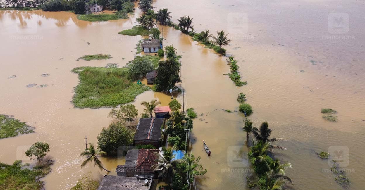
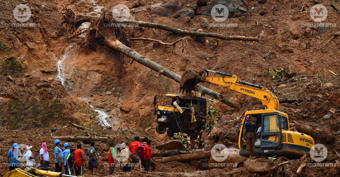
A study by Pune-based Indian Institute Of Tropical Meteorology (IITM) has found central Kerala receiving more torrential downpour compared to other districts. The increase in downpour would lead to landslides and floods, the study pointed out. The recent natural calamities have validated the IITM findings.

Excess rains this year
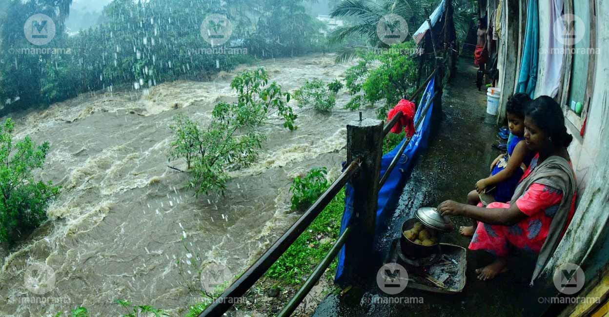
Kerala received rainfall in excess of 409 per cent during January and February this year. The influence of cyclonic circulations brought another excess of 108 per cent rains during the summer months between March and May. The southwest monsoon rainfall, however, dipped by 18 per cent during June to September. Though the northeast (retreating) monsoon is yet to set in over Kerala, the State has received rains in excess of 142 per cent during the first 18 days of October.
The possible increase in the cyclonic storms and low-pressure areas over the Arabian Sea and Bay of Bengal during the retreating monsoon poses a threat of further calamities in Kerala.
Sea heats up
Experts, of late, have noticed a disturbing phenomenon. Unlike in the past, several cyclonic storms have been forming over the Arabian Sea, much similar to the Bay of Bengal. Unlike the cyclones from the Bay of Bengal, those forming over Arabian Sea will have a direct bearing on Kerala.
Of the 23 cyclonic storms that had made landfall on the Indian coast since 2018, 11 originated over the Arabian Sea. Earlier, one or two cyclones were reported over the Arabian Sea. Another matter of concern is that the intensity of the Arabian Sea-cyclones have been increasing. Super cyclonic storm Kyarr touched speeds of above 222 kmph, and cyclones such as Mekunu, Maha and Tauktae – with speeds between 160 kmph and 222 kmph – originated in the Arabian Sea.
Climate change and global warming have increased the Arabian Sea water temperature by an average of one per cent, leading to cyclonic storms.
Scary picture
Even as the sea water keeps warming, Kerala has another problem that needs urgent attention. As much as 17 per cent of the State's geographical expanse is highly prone to landslips and landslides, found a study jointly conducted by Assistant Professor Dr K S Sajin Kumar of the Department of Geology, Kerala University, and Professor Dr Thomas Oommen of the Department of Geological and Mining Engineering, Michigan University.
Incidentally, 43 per cent of State's total area has been located in landslip or landslide-prone regions. A study published by the Geological Society of India (GIS) has found that 74 per cent of Idukki and 51 per cent of Wayanad districts have been located on hillslopes, prone to landslips.

In this backdrop, the study has warned that the recurrence of extremely heavy rainfall has been increasing the threat of calamities in the State. The study, which reviewed landslips and landslides since 1958, also prepared a map of possible landslide areas using Geographic Information Tool For Infinite Slope Stability Analysis model.
More possible landslides, warns GSI
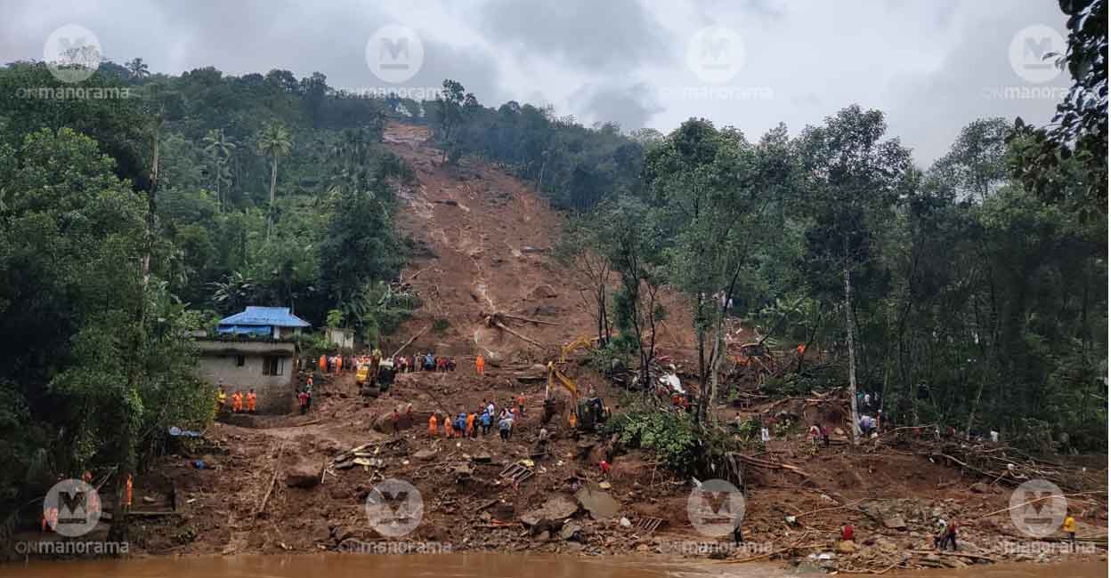
A study of Geological Survey of India conducted after the savage landslides of 2018 and 2019, found that the possibility of further landslides is high in Kerala. The landslide-prone area, too, has expanded to 18,000 square kilometres from the earlier 13,000 square kilometres. A corresponding increase has been noted in extremely high landslide-prone areas, which went to 2,400 square kilometres from 1,640 square kilometres.
The increase in landslide-prone areas, the study said, showed a marked increase mostly in Idukki, Thrissur, Palakkad, Malappuram, Kozhikode, Wayanad and Kannur districts. Landslips and soil piping (a natural, hydraulic process leading to the development of sub-surface large, air-filled voids) have been contributing to possible landslides in Kerala, the study warned.

The GIS has handed over its detailed report and the map of landslide-prone areas to the State government, which was passed on to district administrations. The report and map, however, have not been made public. The government decided against publishing the report after considering the fact that such a move would have a negative socio-economic impact on the identified areas.
Constraints galore
Despite a series of natural calamities ravaging the State, several constraints still stifle Kerala's weather prediction mechanism.
According to the Bureau of Indian Standards, Kerala should have 256 rain gauging stations, but the State falls short, and has only 68.
The weather department does not have a rain station at Mundakayam, battered by torrential rains and related flash floods and landslides on Sunday. The Irrigation Department recorded 34.5 centimetres of rain at Mundakayam, and hence the India Meteorological Department doesn't have any record of the rainfall in the area.
Based on Kerala's request for 188 new observatories, the Central government had allotted 100 two years ago, but only 16 have been established. The installation of the remaining observatories has been delayed since the areas earmarked for them were found unsuitable.

The Met department's forecast has been based on the data from radars installed at Thiruvananthapuram and Kochi. The radar at Kochi, which was out of order during the 2018 floods, was later repaired. Considering the increasing low-pressure areas and cyclones over the Arabian Sea, Kerala had in 2018 made a formal request to the Centre for a Doppler radar for the northern districts. Currently, steps have been initiated to install a radar at the International Airport in Kannur.
Kerala's another request to the Central Water Commission to prepare and provide a flood map, too, is yet to be approved. The State made the request in the backdrop of the recurring floods. The Commission's help was sought in the belief that such a map would help in evacuation and rescue operations in flood-prone areas.

