What Causes Coastal Erosion in Kerala's Chellanam? | Watch Video

Mail This Article
Editor’s Note: This is the third of a five-part text & video story series, exploring in depth the coastal erosion in Chellanam. Read the first part here, second part here.
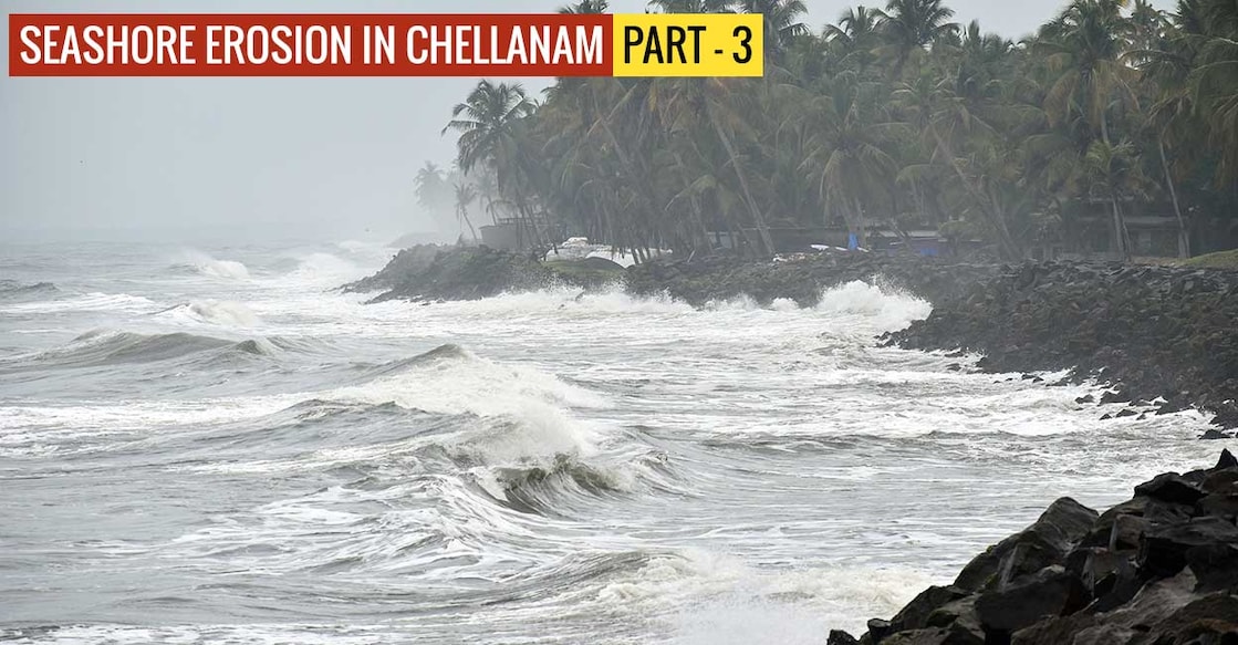
Chellanam in Kerala’s Ernakulam district is the worst coastal erosion-affected area in Kerala.
This did not happen overnight.
Many years ago, the distance from the coast and the sea in Chellanam was more than three kilometres. Large swathes of sandy beach separated the sea and the villages.
Over a period of time, the sea started advancing to the villages. Coastal land began to erode due to the removal of sand and sediments from the shoreline.
Documentary and scientific evidence suggest that sea erosion in Chellanam intensified after the construction of Kochi Sea Port in 1926.
How did it happen?
Beaches along Kerala’s 580-km coastline face erosion during the south-west monsoon months from May to September, and minor erosion during the north-east monsoon in December and January. During this time, high-energy storm waves pull sediment and soil away from the shore. After the monsoon is over, low energy waves bring back the eroded sediment and soil. The cyclical process of erosion and accretion ensures that beaches remain intact.
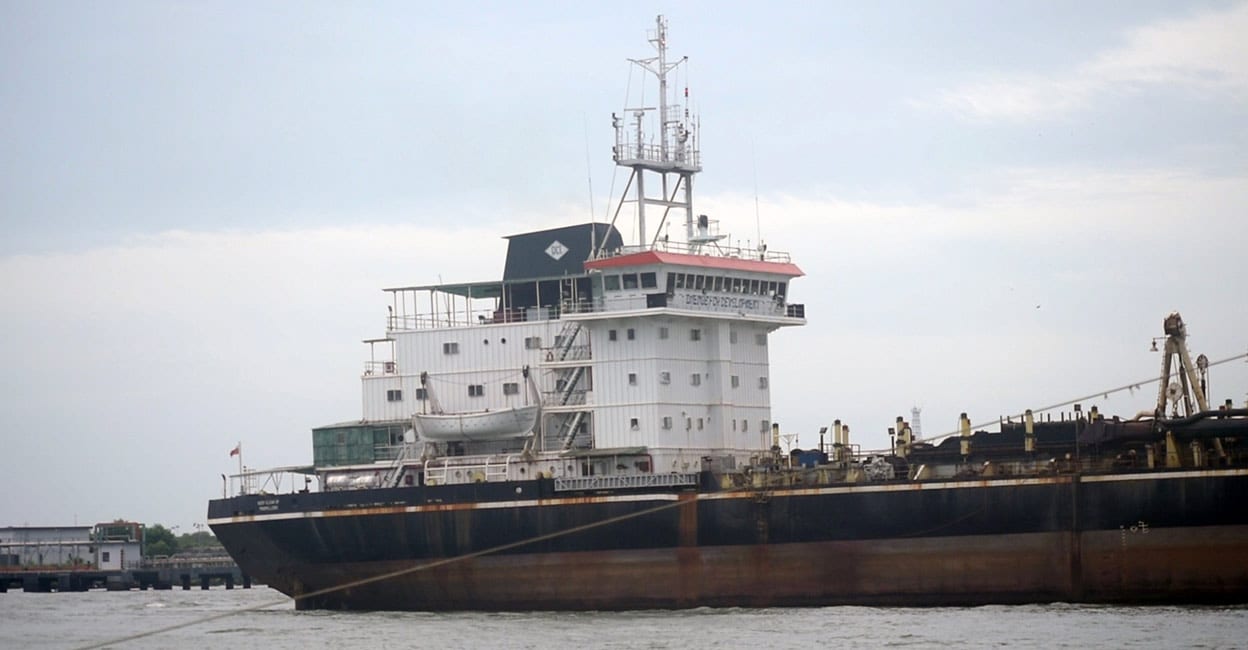
The shipping channel for the Kochi port disrupts this cyclical process.
Ships arrive and depart the port through the shipping channel. The channel is being dredged regularly to maintain its depth. The sand and sediments from Chellanam get trapped in the channel. Later, this will be dredged and deposited in the deep sea. This changes the sand movement ecosystem and causes erosion.

Dr M V Ramana Murthy, director of the Chennai-based National Centre for Coastal Research who has studied the seashore erosion in Chellanam, is of the opinion that management of the Kochi Port is important in reducing coastal erosion in Chellanam. “Kochi Port has its own impact on Chellanam,” he said while participating in an online consultation on coastal erosion in June this year.
“Cochin coast has northern sediment transportation. The sand moves into the shipping channel that gets periodically dredged. So no sand returns back from this area,” he said.
The dredged sand is being deposited in the deep sea.
That is why Murthy suggested management of the port is important in controlling sea erosion in Chellanam. “Port management is important in controlling sea erosion,” he said.
Chellanam-Kochi Janakeeya Vedi, a collective of residents and activists that has been leading a mass agitation for over 650 days demanding measures to protect Chellanam, too blames Kochi port for the erosion.
“Coastal erosion aggravated in Chellanam after the construction of the Cochin Port. The project’s chief engineer Charles Brown had proposed a breakwater on the port’s southern side. But it did not happen. Had they built it then, Chellanam-Kochi coast would have remained safe,” said V T Sebastien, Chellanam resident and patron of the Janakeeya Vedi.
The port was inaugurated in 1928. Sebastien said the depth of the shipping channel was just five metres at that time. “In 2000, its depth was increased to 10 metres. Later, Dubai Port World deepened the channel further to bring bigger ships to the Vallarpadam Container Terminal. DP World claims the current depth of the channel is 15.6 metres. But our measurement shows it is more than 20 metres deep. This means more sand from the Chellanam coast gets trapped in the shipping channel,” he said.
No impact assessment study
Janakeeya Vedi’s Thushar Nirmal said neither the government nor the port has conducted an impact assessment study of the dredging. “The people have been raising this issue with the government. But the Cochin Port officials are not addressing the issue. They are not even ready to own up the responsibility for the coastal erosion,” he said.
Thushar recently sought Cochin Port’s reply on the environmental impact of dredging through a Right to Information Act query. “But the port officials declined the reply citing the 8 (1) A clause of the RTI Act that exempts information, disclosure of which would prejudicially affect the sovereignty and integrity of India, the security, strategic, scientific or economic interests of the State,” he said.
Fr Antonyto Paul, Vicar at Our Lady of Health Church at Saude in Chellanam and Director of the Coastal Area Development Agency for Liberation (CADAL), said dredging and deepening of the shipping channel would eventually destroy Chellanam. “We will lose the remaining land with the increase in the depth of the shipping canal,” he warned.
Fr Antonyto said Chellanam residents worry for their lives and property. “That’s why they are demanding the creation of a beach to protect the coast. We believe that Cochin Port Trust has the moral responsibility to fulfil their demand,” he said.

Fishing harbour’s role
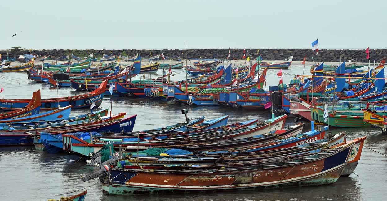
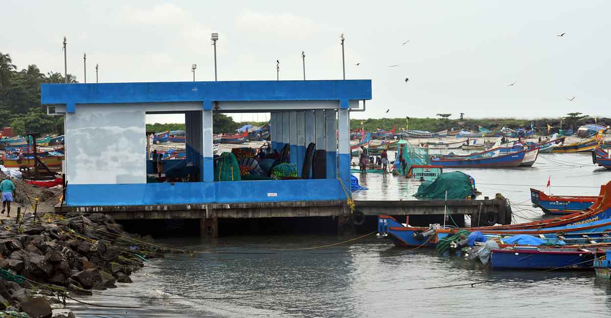
The fishing harbour in Chellanam too contributes to coastal erosion.
National Centre for Coastal Research Director Dr Ramana Murthy stated during the online consultation (that was mentioned earlier in the story) that the harbour stops natural movement of sand towards the north. “This deprives Chellanam coast of sediments,” he said.

The harbour has two, 150 metre-long breakwaters. The gap between the breakwaters is 350 metres
What happens at the moment is that the breakwater on the south side blocks sand and sediment transportation to the north. This results in sand and sediment deposit on the south. “So there is no sea erosion in areas that lie on the south side of the breakwater. But the northern areas are experiencing severe erosion,” said Sebastien of Janakeeya Vedi.
Next: Part - 4 (Text & Video):Why Chellanam Residents Are Unhappy With Government's Rehabilitation Plan?


