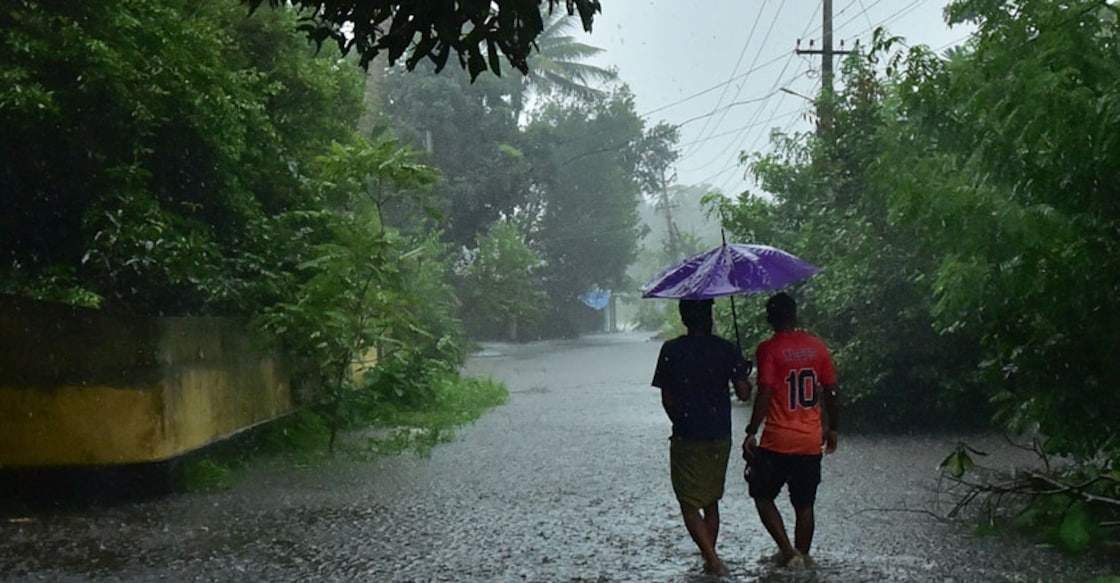
Heavy rain in Kerala as low pressure area in Arabian sea may become cyclonic storm

Mail This Article
Thiruvananthapuram: A low pressure area formed over the Arabian sea is likely to intensify in the next 24 hours and may even develop into a cyclonic storm later, the India Meteorological Department (IMD) said on Sunday.
The met department said the low pressure area might turn into a depression and then into a cyclonic storm, which is "very likely to move nearly northwards and reach north Maharashtra and Gujarat coasts by June 3". Owing to this Kerala is likely to experience heavy rain in several parts of the state.
"It is very likely to concentrate into a depression over east central and adjoining south east Arabian sea during the next 24 hours," it said.
If it intensifies and turns into a cyclonic storm it will be called 'Nisarga' as named by Bangladesh.
Read: How cyclones are named?
The Kerala government has warned fishermen not to put out to sea and prohibited fishing activities in view of the low pressure area.
The South West Monsoon is expected to hit Kerala on June 1, the IMD had predicted.
Many parts of Kerala have been receiving rains since the past few days.
Kerala had received unprecedented rains during the previous two consecutive monsoons, causing massive devastation and claiming hundreds of lives, besides leaving many homeless.
Yellow alert in districts
A 'Yellow' alert denoting severely bad weather has been issued for the following districts:
May 31: Thiruvananthapuram, Kollam, Pathanamthitta, Alappuzha, Kottayam, Ernakulam Idukki Malappuram, Kozhikode.
June 1: Thiruvananthapuram, Kollam, Pathanamthitta, Alappuzha, Kottayam, Ernakulam Idukki Malappuram, Kannur.
June 2: Ernakulam, Thrissur, Malappuram, Kozhikode, Kasaragod.
June 3: Kannur, Kasaragod.
The weather department has warned that winds with speeds reaching up to 65 kmph is likely over the Kerala coast.

